- Dataset detail
- Global Distribution of Sei Whales
- Access
-
Description
-
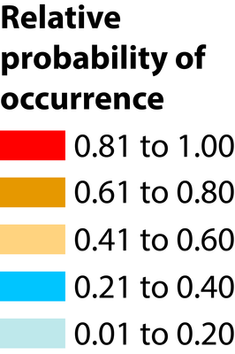
This dataset shows the modelled distribution of sei whales (Balaenoptera borealis). AquaMaps (www.aquamaps.org) is a species distribution modelling approach that provides standardised range maps for marine species using available information on species occurrence. IUCN status: Endangered (Red List of Threatened Species).
Interested users of the dataset should contact Kristin Kaschner who will identify and provide, where appropriate, the most recent updated data.
-
-
Citation
-
Kaschner K, Rius-Barile J, Kesner-Reyes K, Garilao C, Kullander SO, Rees T, Froese R (2013). AquaMaps: Predicted range maps for aquatic species. World wide web electronic publication: www.aquamaps.org, Version August 2013
-
Use constraints
-
Creative Commons Attribution-NonCommercial 3.0 Unported (CC BY-NC 3.0).
For commercial use, please contact business-support@unep-wcmc.org.
-
Policy Relevance
-
- Convention on Biological Diversity (CBD)
- Vulnerable Marine Ecosystem (VME)
- Ecologically or Biologically Significant Area (EBSA)
- Specially Protected Areas of Mediterranean Importance (SPAMI)
- Convention on International Trade in Endangered Species of Wild Fauna and Flora (CITES)
- Natura 2000
- Convention on the Conservation of Migratory Species of Wild Animals (CMS)
- International Convention for the Regulation of Whaling (IWC)
- List of marine-related Conventions
LAST PAGE UPDATE
03/07/18