 Changes to Ocean Data Viewer
Changes to Ocean Data Viewer
Description
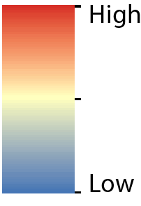
This map represents the mean sea surface temperature globally from 2009 to 2013. The dataset was created using remotely-sensed MODIS Aqua data from NASA’s (National Aeronautics and Space Administration) Ocean Color database.
Sea surface temperature is a climatic descriptor and it is controlled by other climatic variables such as air temperature, ocean and wind currents. It is expressed as a mean annual figure, derived from remotely-sensed images and given at a global scale. Sea surface temperature is a main control on biodiversity as the majority of organisms respond to the temperature of their immediate environment, thereby making sea surface temperature a useful environmental descriptor for several organisms.
Citation
NASA Ocean Biology (OB.DAAC). (2014). Mean annual sea surface temperature for the period 2009-2013 (composite dataset created by UNEP-WCMC). Data obtained from the Moderate Resolution Imaging Spectroradiometer (MODIS) Aqua Ocean Colour website (NASA OB.DAAC, Greenbelt, MD, USA). Accessed 28/11/2014. URL: http://oceancolor.gsfc.nasa.gov/cgi/l3. Cambridge (UK): UNEP World Conservation Monitoring Centre. Data DOI: https://doi.org/10.34892/tf0n-6t02
Use constraints
Creative Commons Attribution 3.0 Unported (CC BY 3.0).
02/06/23